

Pakistan rejects India’s ‘baseless assertions’ on disputed Jammu and Kashmir status
ISLAMABAD: Pakistan has rejected India’s assertions regarding the depiction of the disputed Jammu and Kashmir region on maps, saying New Delhi’s claims are contrary to internationally recognised facts.
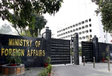
Foreign Office Spokesperson Sajjad Haider Khan, responding to a statement issued by India’s Ministry of External Affairs, said India’s unilateral actions and continued illegal occupation could not change the internationally recognised disputed status of Jammu and Kashmir.
The Indian foreign ministry had called for the disputed regions of Jammu and Kashmir and Ladakh to be depicted in accordance with India’s official map.
Rejecting the demand, the Foreign Office spokesperson said official United Nations maps continue to identify Jammu and Kashmir as a disputed territory and therefore remain the appropriate cartographic representation of its current legal status.
“India’s so-called official maps and unilateral claims of sovereignty have no bearing on the status of the disputed territory,” Khan said.
He described the Jammu and Kashmir dispute as one of the oldest unresolved and internationally recognised disputes on the agenda of the United Nations Security Council.
According to the spokesperson, the relevant UN Security Council resolutions provide that the final disposition of Jammu and Kashmir should be determined in accordance with those resolutions and the wishes of the Kashmiri people, expressed through a free and impartial plebiscite under UN auspices.
The Foreign Office urged the international community to press India to immediately end human rights violations in Indian Illegally Occupied Jammu and Kashmir (IIOJK) and fulfil its commitments regarding the Kashmiri people’s right to self-determination in accordance with relevant UN Security Council resolutions.
Meanwhile, the United Nations General Assembly on September 4 adopted a resolution endorsing a new world map designed to provide a more accurate representation of the relative size of the world’s continents.
The new map, known as the Equal Earth cartographic projection, depicts Africa as larger while reducing the apparent size of North America and Europe compared with conventional map projections.
The resolution was supported by 164 countries, while the United States voted against it and six countries abstained.
The resolution stated that the Equal Earth projection would improve the accuracy of the cartographic representation of the world.
